Keywords: Native American maps
- Historical Items (17)
- Tax Records (0)
- Architecture & Landscape (1)
- Online Exhibits (21)
- Site Pages (21)
- My Maine Stories (0)
- Lesson Plans (1)
Historical Items
These results include photographs, documents, letters, paintings, artifacts, and many other kinds of Maine related items from collections around the state and elsewhere.
Item 105359

The Moosehead Lake Region map, 1931
Contributed by: Osher Map Library and Smith Center for Cartographic Education Date: 1931 Media: Lithograph
Item 104601

Contributed by: Osher Map Library and Smith Center for Cartographic Education Date: 1677 Media: Woodcut
Item 62841

Map of "The Plains," Waterville, 1911
Contributed by: Waterville Public Library Date: 1911 Location: Waterville; Waterville; Waterville Media: Ink on paper
Item 10832

Map by Francis Joseph Neptune, Cobscook River, 1798
Contributed by: Maine Historical Society Date: 1798 Media: Ink on paper
Item 4325

"Brunswick in the late Province of Mayne in New England," 1719
Contributed by: Maine Historical Society Date: 1718-01-28 Location: Brunswick Media: Ink on paper
Item 6851

Chief Wasp map of Lake Vermillion, Sandy Point, ca. 1820
Contributed by: Maine Historical Society Date: circa 1825 Media: Graphite on paper
Item 12399

Map of Draper's Claim, near Bath, 1795
Contributed by: Maine Historical Society Date: 1795 Media: Ink on paper
Item 12941

Plan of the Kennebec River, Nov. 1763
Contributed by: Maine Historical Society Date: 1763 Location: Richmond Media: Ink on paper
Item 6883

St. John and Penobscot Rivers map, 1798
Contributed by: Maine Historical Society Date: 1798-05-08 Location: Pleasant Point Media: Ink on paper
Item 11827
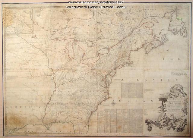
Map of the British and French North America, 1775
Contributed by: Maine Historical Society Date: 1755 Media: Ink on paper, map
Item 13074

Manuscript map of Kennebec River area, 1771
Contributed by: Maine Historical Society Date: 1771 Media: Ink on paper
Item 68874

Sheepscot Farms, Wiscasset, 1877
Contributed by: Maine Historical Society Date: 1877 Location: Wiscasset Media: Ink on paper
Item 12854

Contributed by: Maine Historical Society Date: 1719-05-16 Media: Ink on paper
Item 105015

Figure de la Terre Neuve, grande riviere de Canada, et cotes de l'ocean en la Nouvelle France, 1618
Contributed by: Maine Historical Society Date: 1607 Media: Ink on paper
Item 12400

Draper's claim northeast of Bath, 1795
Contributed by: Maine Historical Society Date: 1795 Media: Ink on paper
Item 33847

Champlain's map of Saco Bay and the Saco River, 1605
Contributed by: McArthur Public Library Date: 1605 Location: Biddeford; Saco Media: Photographic print
Item 4324

Androscoggin and Kennebec Rivers, ca. 1720
Contributed by: Maine Historical Society Date: circa 1720 Media: Ink on paper
