Keywords: Maine-Maps
- Historical Items (204)
- Tax Records (0)
- Architecture & Landscape (1)
- Online Exhibits (4)
- Site Pages (124)
- My Maine Stories (0)
- Lesson Plans (0)
Historical Items
These results include photographs, documents, letters, paintings, artifacts, and many other kinds of Maine related items from collections around the state and elsewhere.
Item 105355

Contributed by: Osher Map Library and Smith Center for Cartographic Education Date: 1824 Media: Engraving
Item 104782

Contributed by: Osher Map Library and Smith Center for Cartographic Education Date: 1793 Media: Engraving
Item 104783

Contributed by: Osher Map Library and Smith Center for Cartographic Education Date: 1794 Media: Engraving
Item 104600

Map of the District of Maine, 1815
Contributed by: Osher Map Library and Smith Center for Cartographic Education Date: 1815 Media: Engraving
Item 104603

Map of the State of Maine, 1820
Contributed by: Osher Map Library and Smith Center for Cartographic Education Date: 1820 Media: Engraving
Item 105353

"Geographical, statistical, and historical map of Maine," 1826
Contributed by: Osher Map Library and Smith Center for Cartographic Education Date: 1826 Media: Engraving
Item 4319

Contributed by: Maine Historical Society Date: circa 1795 Location: Freeport; New Gloucester; Brunswick Media: Ink on paper
Item 4325

"Brunswick in the late Province of Mayne in New England," 1719
Contributed by: Maine Historical Society Date: 1718-01-28 Location: Brunswick Media: Ink on paper
Item 105362

Contributed by: Osher Map Library and Smith Center for Cartographic Education Date: 1833 Media: Engraving
Item 4316

Plan of J. Robinson lot, Topsham, 1761
Contributed by: Maine Historical Society Date: 1761 Location: Topsham Media: Ink on paper
Item 4318

Androscoggin River above Lewiston, ca. 1750
Contributed by: Maine Historical Society Date: circa 1750 Location: Turner; Livermore; Wayne; Leeds Media: Ink on paper
Item 105357

Map of the United States of America, 1821
Contributed by: Osher Map Library and Smith Center for Cartographic Education Date: 1821 Media: Engraving
Item 9166

Contributed by: Maine Historical Society Date: 1795 Media: Ink on paper
Item 105628

Contributed by: Maine Historical Society Date: 1796 Media: Ink on paper
Item 11043

Waterfront and downtown Bath, 1851
Contributed by: Patten Free Library Date: 1851 Location: Bath Media: Ink on paper
Item 4177

Contributed by: Maine Historical Society Date: circa 1801 Media: Paper
Item 105360

Contributed by: Osher Map Library and Smith Center for Cartographic Education Date: 1855 Media: Lithograph
Item 135882

Contributed by: Osher Map Library and Smith Center for Cartographic Education Date: 1761 Media: Ink on paper
Item 10684
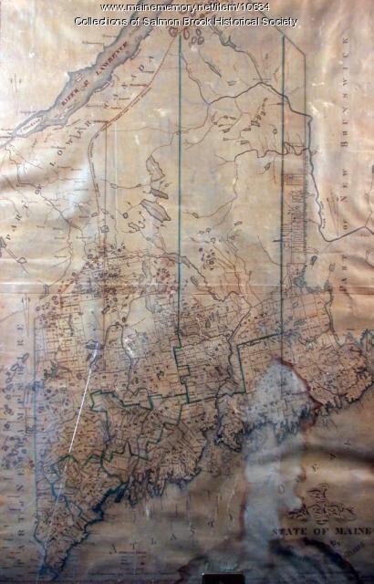
Contributed by: Salmon Brook Historical Society Date: circa 1825 Media: Digital photograph of printed map
Item 17573

Lumbermen and Sportsmen's Map, 1894
Contributed by: Maine Historical Society Date: 1894 Media: Ink on paper, map
Item 17574

Railroad map of Northern Maine, 1910
Contributed by: Maine Historical Society Date: 1910 Media: Ink on paper, map
Item 18717

Map of the City of Portland, 1836
Contributed by: Maine Historical Society Date: 1836 Location: Portland Media: Ink on paper
Item 22212

Contributed by: Aroostook County Historical and Art Museum Date: circa 1870 Location: Houlton Media: Ink on paper
Item 108959

Plat of a tract of land in Woolwich, 1751
Contributed by: Patten Free Library Date: 1751-11-29 Location: Woolwich Media: Watercolor on paper
