Keywords: Boundary Map
- Historical Items (193)
- Tax Records (0)
- Architecture & Landscape (3)
- Online Exhibits (11)
- Site Pages (63)
- My Maine Stories (0)
- Lesson Plans (0)
Historical Items
These results include photographs, documents, letters, paintings, artifacts, and many other kinds of Maine related items from collections around the state and elsewhere.
Item 116555

St. John River Boundary survey, 1843-1844
Contributed by: Maine Historical Society Date: 1843–1844 Media: Ink on paper
Item 8562

Treaty of Washington boundary map, 1842
Contributed by: Maine Historical Society Date: 1842 Media: Ink on paper
Item 110997

Map of the disputed portions of the New Brunswick and Lower Canada, 1839
Contributed by: Maine Historical Society Date: 1839 Media: Ink on paper
Item 135882

Contributed by: Osher Map Library and Smith Center for Cartographic Education Date: 1761 Media: Ink on paper
Item 104604

New Map of English America, 1677
Contributed by: Osher Map Library and Smith Center for Cartographic Education Date: 1777 Media: Engraving
Item 105353

"Geographical, statistical, and historical map of Maine," 1826
Contributed by: Osher Map Library and Smith Center for Cartographic Education Date: 1826 Media: Engraving
Item 111004

Mouth of Detroit River, ca. 1820
Contributed by: Maine Historical Society Date: circa 1820 Media: Ink on paper
Item 104601

Contributed by: Osher Map Library and Smith Center for Cartographic Education Date: 1677 Media: Woodcut
Item 11990

United States-British provinces boundaries, 1843
Contributed by: Maine Historical Society Date: 1843 Media: Ink on paper
Item 35633

Map of the state of Maine, 1843
Contributed by: Maine Historical Society Date: 1843 Media: Ink on paper
Item 104602

A plan of the District of Maine, 1795
Contributed by: Osher Map Library and Smith Center for Cartographic Education Date: 1795 Media: Ink on Paper
Item 11827
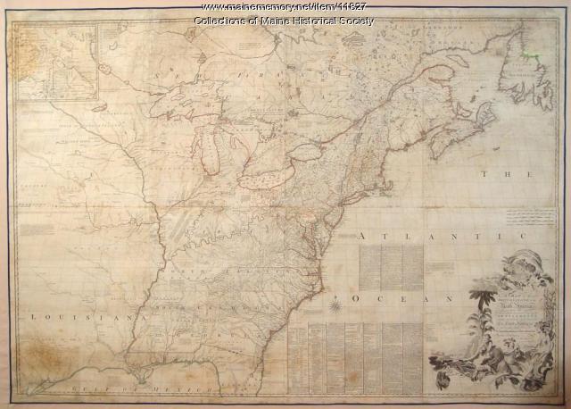
Map of the British and French North America, 1775
Contributed by: Maine Historical Society Date: 1755 Media: Ink on paper, map
Item 10832

Map by Francis Joseph Neptune, Cobscook River, 1798
Contributed by: Maine Historical Society Date: 1798 Media: Ink on paper
Item 111008

Pigeon River, including waterways between Lakes Kaseigunaha and Superior, ca. 1820
Contributed by: Maine Historical Society Date: circa 1820 Media: Ink on paper
Item 104783

Contributed by: Osher Map Library and Smith Center for Cartographic Education Date: 1794 Media: Engraving
Item 110903

Contributed by: Maine Historical Society Date: circa 1823 Location: Cornwall ; Cornwall Island Media: Ink on paper
Item 11830

Map of the country explored, Maine and New Brunswick, ca. 1818
Contributed by: Maine Historical Society Date: 1817 Media: Ink on paper
Item 116515

St. John River boundary survey, from Rose Island north and east, 1844
Contributed by: Maine Historical Society Date: 1844 Media: Ink on paper
Item 110895

Plan of the islands at the mouth of the River St. Clair, ca. 1823
Contributed by: Maine Historical Society Date: circa 1823 Media: Ink on paper
Item 110909

Map of the Northern part of the state of Maine and of the adjacent British Provinces, 1830
Contributed by: Maine Historical Society Date: 1830 Media: Ink on paper
Item 6851

Chief Wasp map of Lake Vermillion, Sandy Point, ca. 1820
Contributed by: Maine Historical Society Date: circa 1825 Media: Graphite on paper
Item 116542

A Map of Campobello and other islands in the Province of New Brunswick, 1830
Contributed by: Maine Historical Society Date: 1830 Location: Campobello Island Media: Ink on paper
Item 111043

Northern boundary of Michigan, ca. 1820
Contributed by: Maine Historical Society Date: circa 1820 Media: Ink on paper
Item 105630

Contributed by: Maine Historical Society Date: 1835 Media: Ink on paper
