Keywords: mile marker
Item 33451

King's Highway mile marker B 135, Cumberland, 1975
Contributed by: Cumberland Historical Society Date: 1975 Location: Cumberland Media: Photographic print
Item 33449

King's Highway marker, Cumberland, 2004
Contributed by: Cumberland Historical Society Date: 2004 Location: Cumberland Media: Photographic print

Exhibit

Fallen Heroes: Jewish Soldiers and Sailors, The Great War
Thirty-four young Jewish men from Maine died in the service of their country in the two World Wars. This project, including a Maine Memory Network exhibit, is meant to say a little something about some of them. More than just names on a public memorial marker or grave stone, these men were getting started in adult life. They had newly acquired high school and college diplomas, they had friends, families and communities who loved and valued them, and felt the losses of their deaths.
Exhibit

Student Exhibit: Benedict Arnold's March Through Skowhegan
Benedict Arnold arrived in Skowhegan on October 4th, 1775, and it was here that Arnold received his first offer of help from the colonists. Joseph Weston and his sons helped Benedict Arnold and his army cross over the Skowhegan Falls, but Joseph later got a severe cold from exposure and died of a fever on Oct.16th. His sons went back to the family home along the Kennebec for they were the first family to settle in Old Canaan or what is now Skowhegan.

Site Page
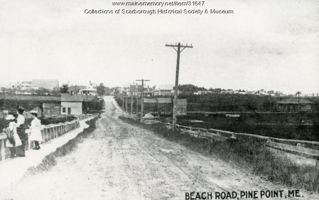
Scarborough: They Called It Owascoag - Roads: From Footpaths to Super Highway
"… ground and a crew following behind set the stone markers. The King’s Highway was renamed the Post Road in 1760.(4) County Road and Saco…"
Site Page

Scarborough: They Called It Owascoag - Historical Overview - Page 2 of 4
"… (1675-1702) Garrison Cove Marker on Black Point Road in ScarboroughScarborough Historical Society & Museum The first Indian attack occurred…"

Story
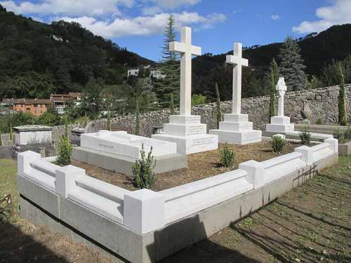
Pandemic ruminations and the death of Rose Cleveland
by Tilly Laskey
Correlations between the 1918 and 2020 Pandemics
