Keywords: Indian Township
- Historical Items (27)
- Tax Records (0)
- Architecture & Landscape (0)
- Online Exhibits (13)
- Site Pages (10)
- My Maine Stories (1)
- Lesson Plans (0)
Site Pages
These sites were created for each contributing partner or as part of collaborative community projects through Maine Memory. Learn about collaborative projects on MMN.
Site Page

"… Deed to Proprietors (1716), Proprietors of the Township of Brunswick: Pejepscot Proprietors Papers, collection 61, vol. 1, p."
Site Page

Mount Desert Island: Shaped by Nature - …then came the settlers…
"… incorporated the entire island as Mount Desert Township. Several years later, they divided the island in two, marking the area east of Somes Sound…"
Site Page

Blue Hill, Maine - Blue Hill Spearheads Development on the Downeast Coast
"The townships west were: #1 now Bucksport; #2 now Orland, #3 now Penobscot, Brooksville and Castine, #4 now Brooklin and Sedgwick, #5 now Blue Hill…"
Site Page

Surry by the Bay - History of Surry
"Desert rivers, each to be six miles square. At the same time, six other townships were granted east of the river. The future Surry was number 6."
Site Page

Western Maine Foothills Region - Dixfield - Page 1 of 5
"… exploring land suitable to the establishment of a township. They could not, however, obtain the purchase of it until July 2, 1789, when Col."
Site Page

Western Maine Foothills Region - Rumford - Page 1 of 4
"Rumford (first known as New Pennacook Township) was visited by the Anasagunticook Indians for the purposes of fishing salmon at the “Great Falls.”…"
Site Page

Strong, a Mussul Unsquit village - Strong's History - Page 1 of 4
"… and this northwestern section was called Township No. 3, First Range North of Plymouth Claim, West of Kennebec River (T3 R1 NPC WKR)."
Site Page
Surry by the Bay - Early Settlement
"In 1821, all parts of the original township of Surry lying west of the Union River in Ellsworth were set back to Surry through the influence of…"
Site Page

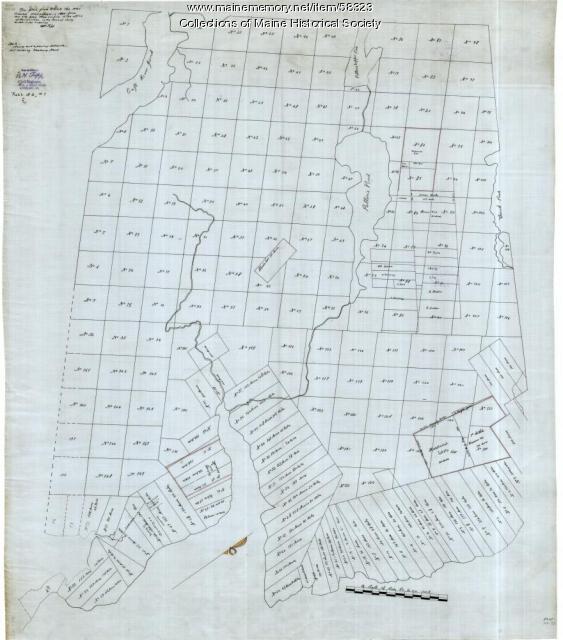
"• Committee appointed by General Court to lay out township into lots of 100 acres each – Solomon Cushing initiated the survey 1792 • Hopley Yeaton…"
Site Page
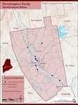
Farmington: Franklin County's Shiretown - Early Settlers
"… enlisted to help with the incorporation of the township, traveling to Boston with others to secure approval from the Commonwealth."
