Keywords: surveying
Item 14610

Surveyor's compass, Fort Kent, ca. 1890
Contributed by: Fort Kent Historical Society Date: circa 1890 Location: Fort Kent Media: Metal, glass
Item 11259

Contributed by: Old York Historical Society Date: circa 1750 Location: York; York Media: Walnut, iron

Item 32159

469 Allen Avenue, Portland, 1924
Owner in 1924: Helen Elizabeth Needham Style: Bungalow Use: Dwelling - Single family
Item 32526

125-127 Bancroft Street, Portland, 1924
Owner in 1924: Knapp Price Style: National Folk Use: Bungalow

Item 110482

White-Levy residence surveys, grading, and driveway, Lewisboro, NY, 1975-1996
Contributed by: Maine Historical Society Date: 1975–1996 Location: Lewisboro Client: Leon Levy Architect: Patrick Chasse; Landscape Design Associates
Item 110442

Malone residence, borders planting plan for the "Yellow House," Northeast Harbor, 2013
Contributed by: Maine Historical Society Date: 2013 Location: Mount Desert Client: Frederick R. Malone Architect: Patrick Chasse

Exhibit

The boundaries of Maine are the product of international conflict, economic competition, political fights, and contested development. The boundaries are expressions of human values; people determined the shape of Maine.
Exhibit

The Schooner Bowdoin: Ninety Years of Seagoing History
After traveling to the Arctic with Robert E. Peary, Donald B. MacMillan (1874-1970), an explorer, researcher, and lecturer, helped design his own vessel for Arctic exploration, the schooner <em>Bowdoin,</em> which he named after his alma mater. The schooner remains on the seas.

Site Page

"… Martha Ballard was an essential complement to the surveys and land sales documented in company records."
Site Page

"John River Boundary survey, 1843-1844Maine Historical Society How the long-fixed line of 1842 was created can be examined in extraordinary detail…"

Story
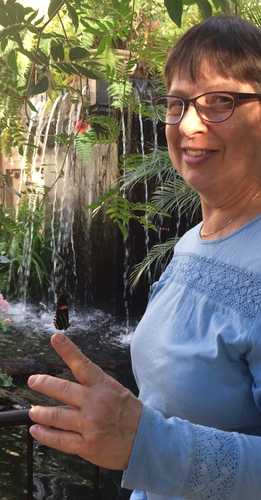
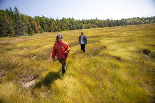
Importance of Insects in Maine
by Charlene Donahue
Doing Insect surveys with the Maine Entomological Society
Story
Welimahskil: Sweet grass
by Suzanne Greenlaw
Weaving Indigenous Knowledge (IK) and western science around Sweetgrass
