Keywords: Compass rose
Item 33918

Contributed by: Jonathan Fisher Memorial, Inc. Date: circa 1791 Location: Blue Hill Media: Pen and Ink and Watercolor on paper
Item 11726

Contributed by: Maine Historical Society Date: 1795-05-29 Location: Brunswick; Durham; Freeport; Bath Media: Ink on paper

Exhibit

Colonial Cartography: The Plymouth Company Maps
The Plymouth Company (1749-1816) managed one of the very early land grants in Maine along the Kennebec River. The maps from the Plymouth Company's collection of records constitute some of the earliest cartographic works of colonial America.
Site Page

Bath's Historic Downtown - Merchants' Row
"… owned an earlier jewelry trade had a sign of a compass to symbolize that everything in his store had perfect measurements, that his jewels had…"
Site Page
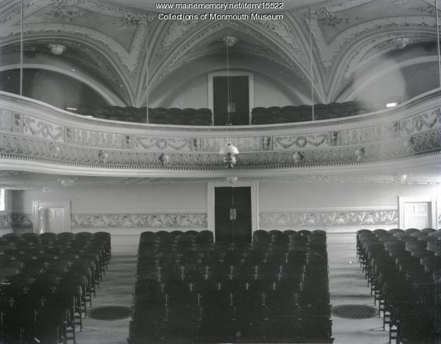
Music in Maine - Opera, Orchestras and Stages
"… context and I believe that through creative frequencies, we can begin to heal humanity and evolve to new levels of love, compassion and wellness."
