Keywords: Cartouches
Item 7493

Nova Anglia Septentrionali, ca. 1759
Contributed by: Maine Historical Society Date: circa 1720 Media: Map ink on paper
Item 11977

Plan of part of the Eastern Shore, 1753
Contributed by: Maine Historical Society Date: 1753 Media: Ink on paper

Exhibit
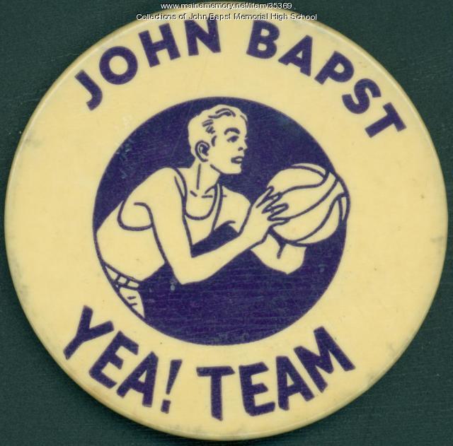
John Bapst High School was dedicated in September 1928 to meet the expanding needs of Roman Catholic education in the Bangor area. The co-educational school operated until 1980, when the diocese closed it due to decreasing enrollment. Since then, it has been a private school known as John Bapst Memorial High School.
Exhibit

Colonial Cartography: The Plymouth Company Maps
The Plymouth Company (1749-1816) managed one of the very early land grants in Maine along the Kennebec River. The maps from the Plymouth Company's collection of records constitute some of the earliest cartographic works of colonial America.

